
All Courses
We provide for you qualified trainers in geomatics to profit from quality training sessions, destined to all levels and according to your most specific needs in geomatics and in GIS (Geographic Information System).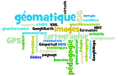
Training in GIS and geomatics
We provide for you qualified trainers in geomatics to profit from quality training sessions, destined to all levels and according to your most specific needs in geomatics and in GIS (Geographic Information System).
OUR TRAININGS
DIGITAL PHOTOGRAMMETRY
GEOGRAPHIC INFORMATION SYSTEMS
REMOTE SENSING
GIS training program example
The main goal of the initiation training is the mastery of the main features of a GIS software, in order to be immediately operational within the framework of your projects.
This training session is destined to all persons being computer literate who wish to handle, organize and represent spatial data and indicators issued from external data bases (Excel, Access …).
We suggest for you an animated training in French by an expert in GIS and remote sensing.
After this traineeship, the participants will be able to …
- Understand the essentials of the geographic information
- Handle GIS data
- Represent the GIS data on a map
- Organize the data of Vector and Raster type with ArcGis
- Integrate the external data by joint
- Make some graphic and a selections (requests) and SQL allottees
- Do some thematic analyses by individual values, value slots, proportional symbols …
- Make a layout
- Learn to digitize and edit the Vector data while respecting the topology
No comments:
Post a Comment
Thanks for your comments